zions county
Guacamole Trail
Location: ZION NATIONAL PARK
Difficulty Level: Hard
Distance:: 4.9/miles roundtrip
trail overview
Overview
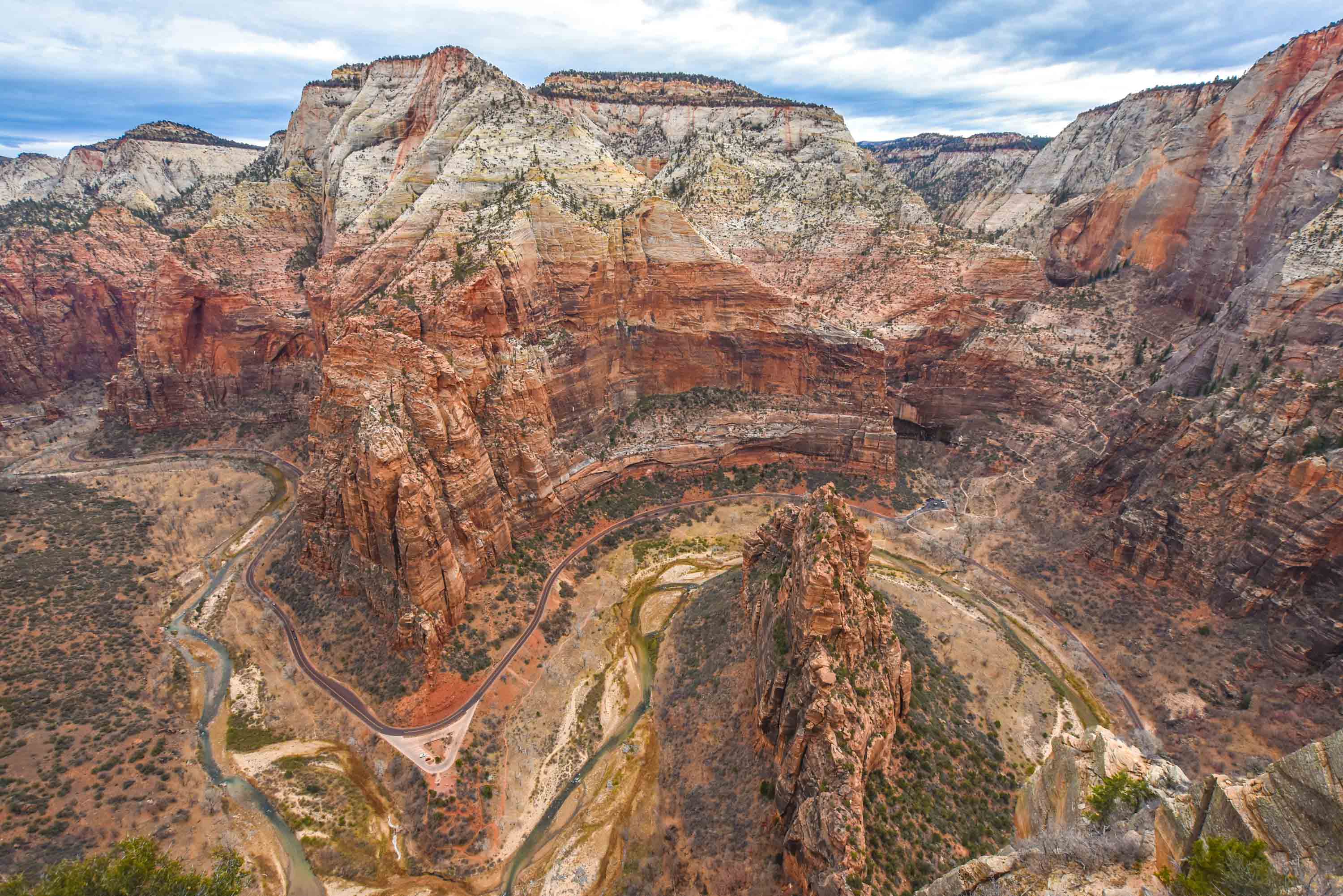
Angels Landing is Zion National Park’s most iconic hike — a thrilling 5.4-mile round-trip trail that climbs over 1,400 feet to a narrow spine of sandstone nearly 1,500 feet above the canyon floor. The reward is a 360° panoramic view of Zion Canyon that’s unlike any other in the park.
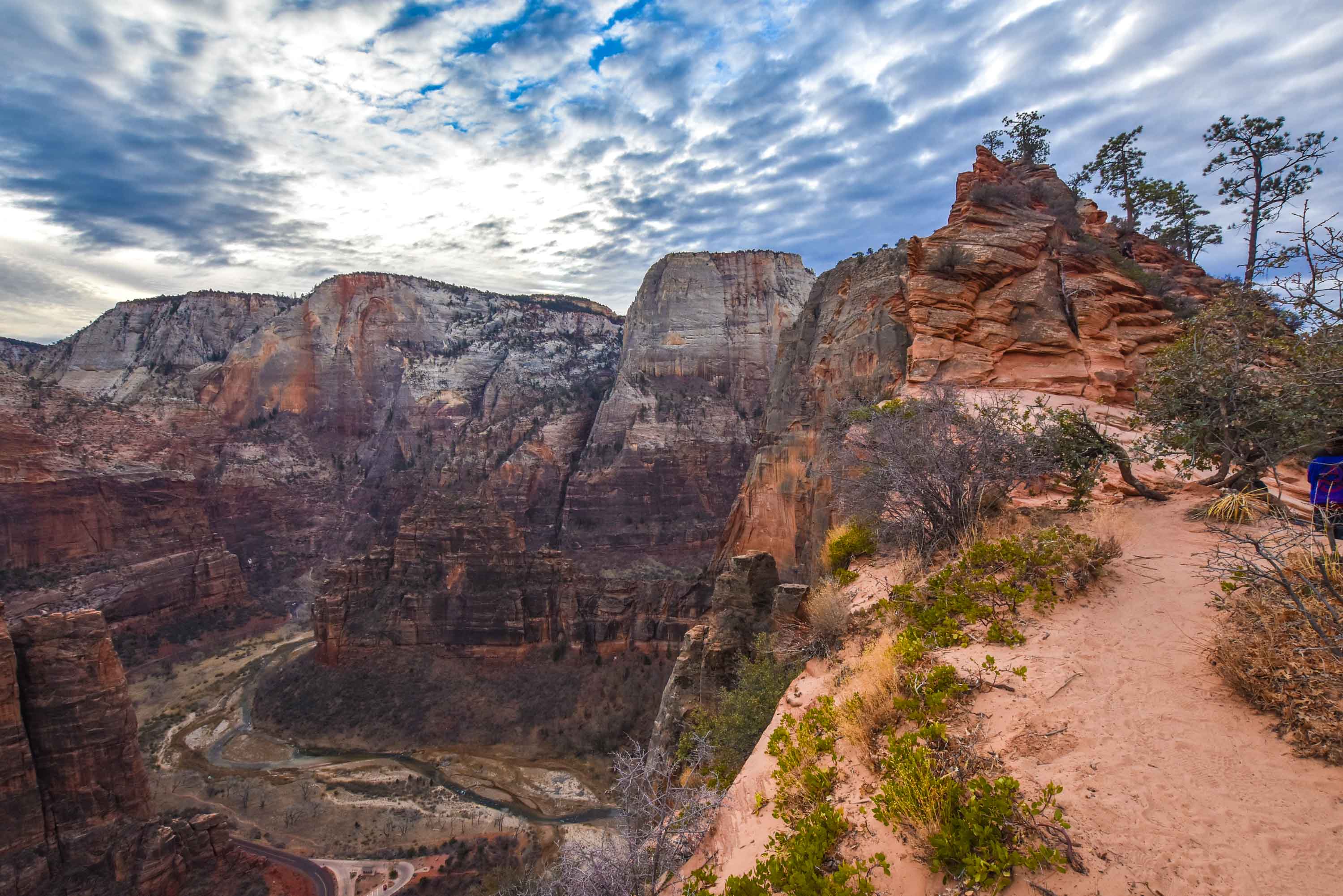
This hike is famous for its last half-mile, where the trail narrows to just a few feet wide in places, with sheer drop-offs on both sides. Chains are bolted into the rock to help hikers traverse the ridge.
Because of the exposure and popularity, this hike now requires a permit through the Angels Landing Lottery.
Angels Landing
TRAIL DETAILS
DIRECTIONS TO TRAILHEAD
Trail Description
-
The Grotto Trailhead
-
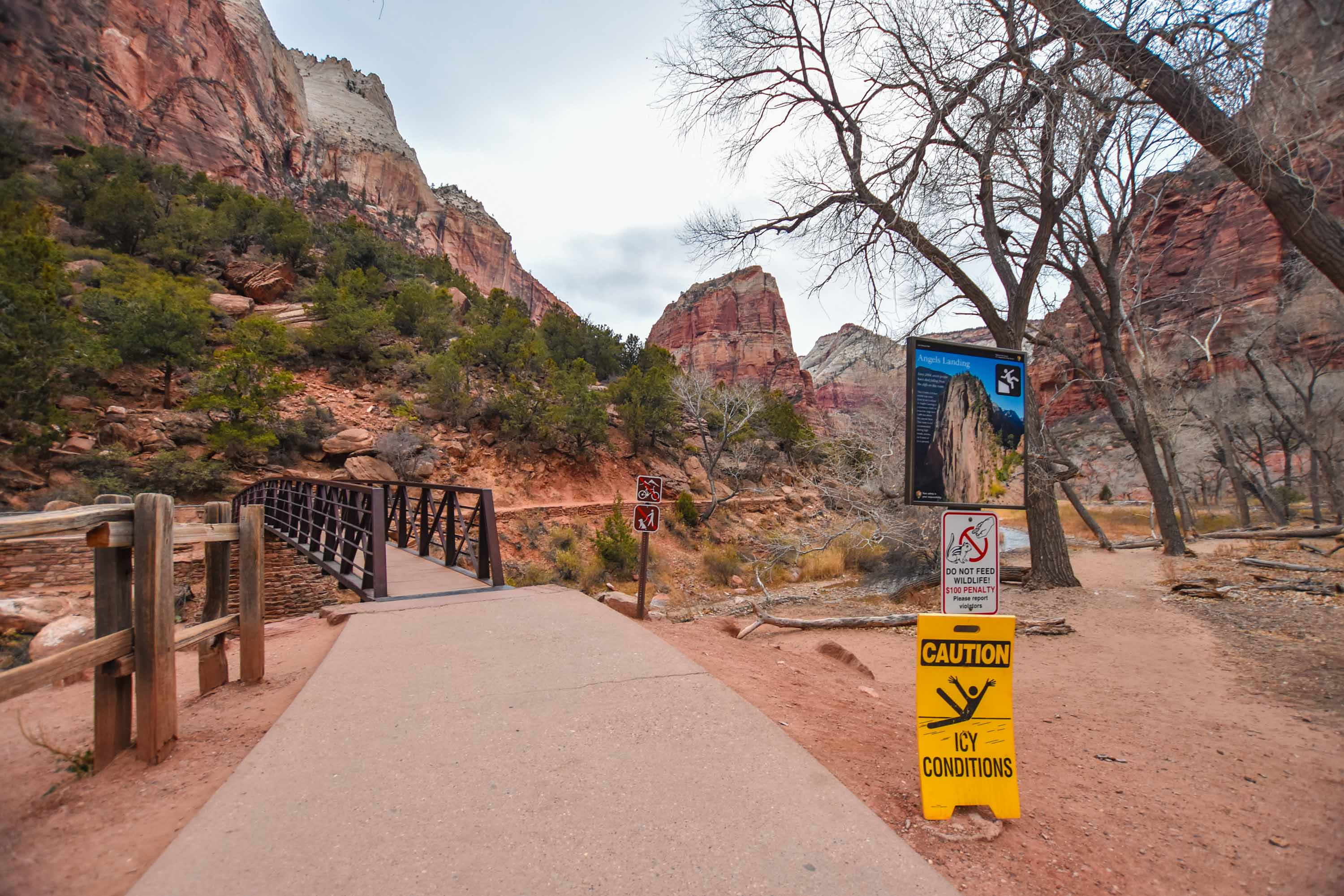
The hike begins at The Grotto shuttle stop in Zion Canyon.
-
Cross the bridge over the Virgin River and start up a paved trail.
-
-
Refrigerator Canyon
-
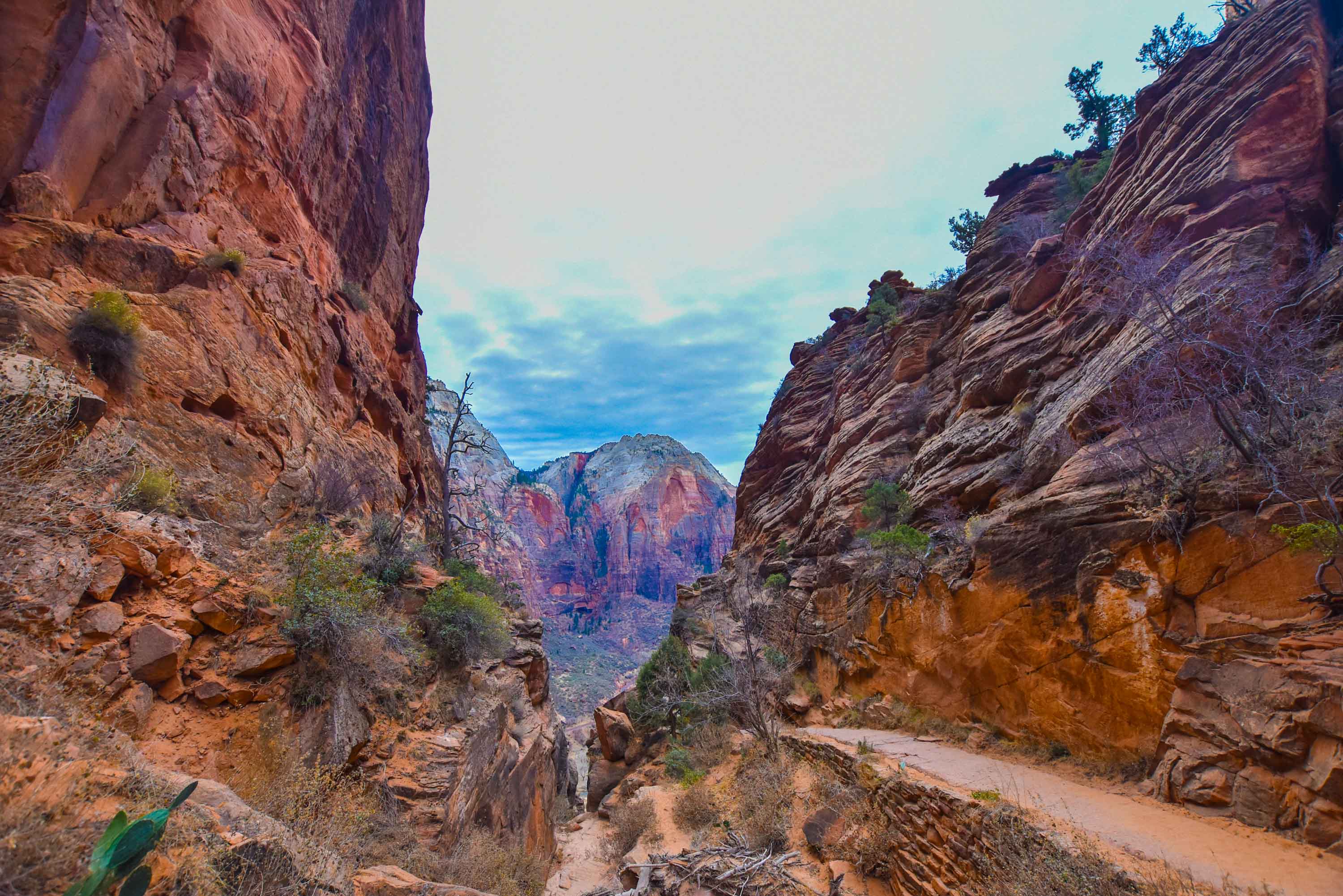
A relatively shady section that provides a break from the sun.
-
The trail is paved and moderate here.
-
-
Walter’s Wiggles
-
A series of 21 steep switchbacks that climb rapidly to Scout Lookout.
-
Named after Walter Ruesch, the park’s first superintendent.
-
-
Scout Lookout (2.1 miles in)
-
A wide, flat area with restrooms.
-
Many visitors stop here for the view if they don’t plan to attempt the chained section.
-
From here, the Angels Landing permit-only section begins.
-
-
The Chain Section
-
About 0.5 miles of exposed ridge walking with chains for assistance.
-
Narrow trail, sheer cliffs, and steep scrambles.
-
This is the most challenging — and thrilling — part of the hike.
-
-
The Summit (Angels Landing)
-
Elevation: 5,790 feet.
-
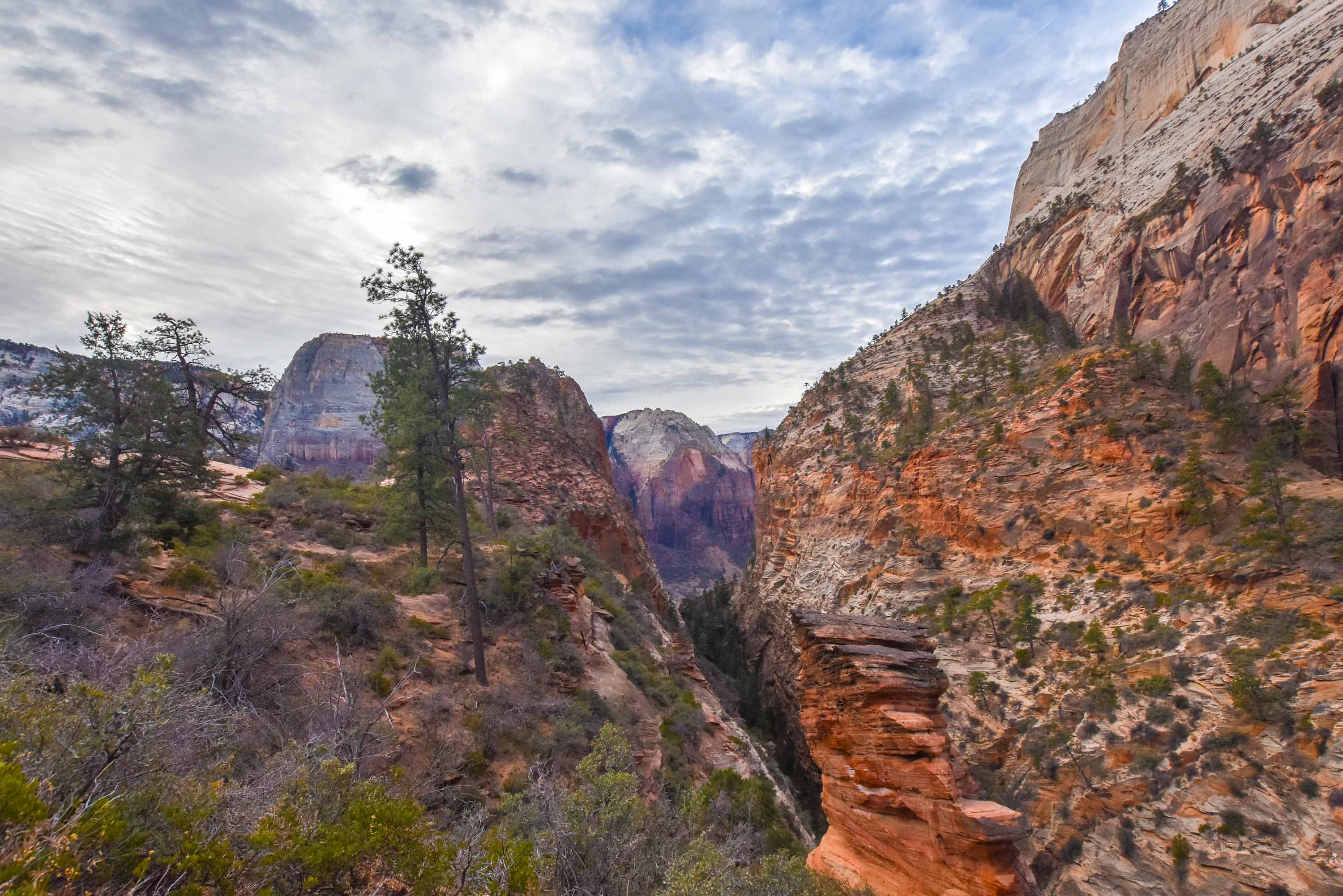
A breathtaking perch above Zion Canyon with expansive views north and south.
-
Washington County, Utah
435-900-2636

Round Trip
3.5 miles

Hike Time
4 hrs

Rest Room
Yes.

Permit
Yes

Horse Ride
No

Pets
No

Difficulty
Hard
TRAIL PHOTOS
TRAIL MAP
